Ruta La Matanza, La Victoria y Santa Úrsula
Descubriendo la comarca de Acentejo
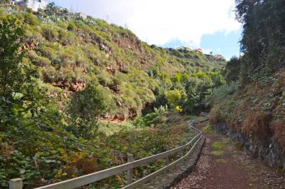
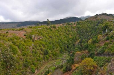
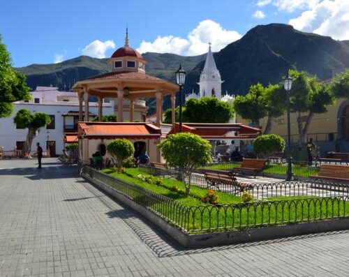
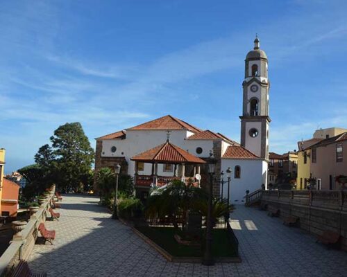
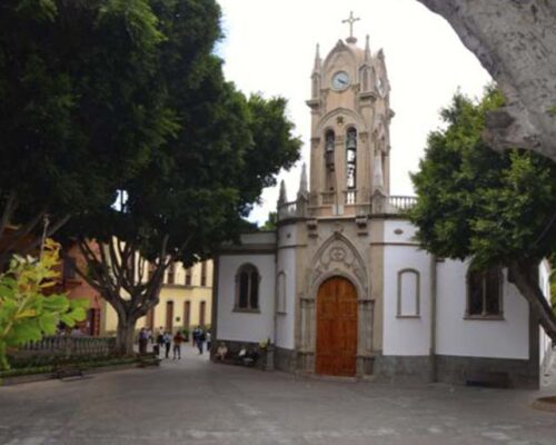
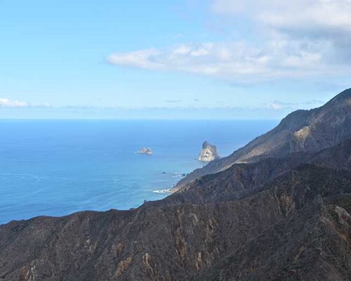
The route between La Matanza, La Victoria and Santa Úrsula is an excursion along the north slopes of Tenerife and the area known as Acentejo, where you will discover a region of contrasts, with craggy cliffs reaching down to the coast and riven by gorges and ravines. History and tradition are present at every corner along the route which gives you the opportunity of becoming familiar with some of the Island’s most deeply-rooted customs, and discover the natural and cultural heritage of the land and its people.
LA MATANZA DE ACENTEJO FARMERS’ MARKET
Location: Main road to the north TF-217, La Matanza de Acentejo.
Tel:922 577 120 (Ext. 312 / 313)
Opening times: -Saturday: 9:00 to 15:00 -Sunday: 9:00 to 14:00
CASA MUSEO INSULAR DE LA VID Y EL VINO DE TENERIFE (ISLAND GRAPEVINE AND WINE MUSEUM)
Location: San Simón Street , 49. Access from the north motorway TF-5, km marker 21. El Sauzal- La Baranda exit, El Sauzal
Tel: 922 572 535 / 922 572 542
Opening times: – Tuesday and Sunday from 10:30 to 18:00 – Wednesday, Thursday, Friday and Saturday from 10:00 to 21:00 – Closed Mondays
Route points
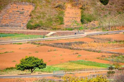
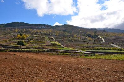
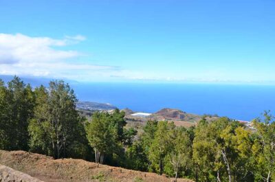
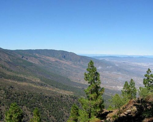
In this area of the north of Tenerife, farming and nature have both shared in creating an environment of particular importance In the areas of the municipality at the highest altitude; the pine forest paints a green backdrop which contrasts with the volcanic earth of the San Antonio Mountains, with the chestnut trees and the vines.
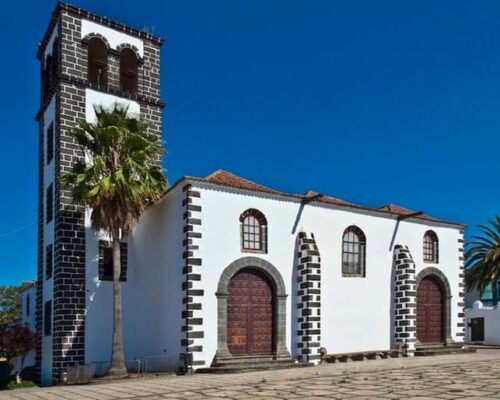
The suburb of San Antonio is one of the villages belonging to La Matanza most deeply rooted in its history of subsistence farming. Its origin is linked to one of the most famous events of the Island conquest, the Church of San Antonio being erected soon after records began. The church was constructed by the conqueror Antón Vallejo as a promise to the saint [Saint Anthony] after saving his life during the Battle of Acentejo.
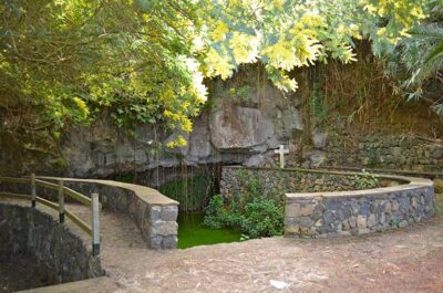
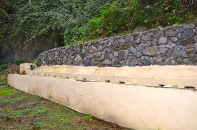
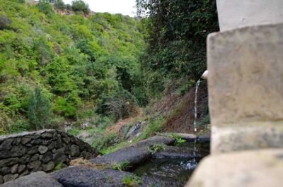
Traditionally, in rural zones, the method used for washing clothes was in ravines, where the washerwomen made use of the running water, or in springs, streams or irrigation channels. It was not until the XIXth century that the first public clothes washing basins were built and they soon acquired an important role in the society of the period. The women of the area came several times a week to wash the clothes of their own families or those of the wealthier families round about. These gatherings were the perfect opportunity to exchange the news and views, and of course gossip, about the village and its residents.

